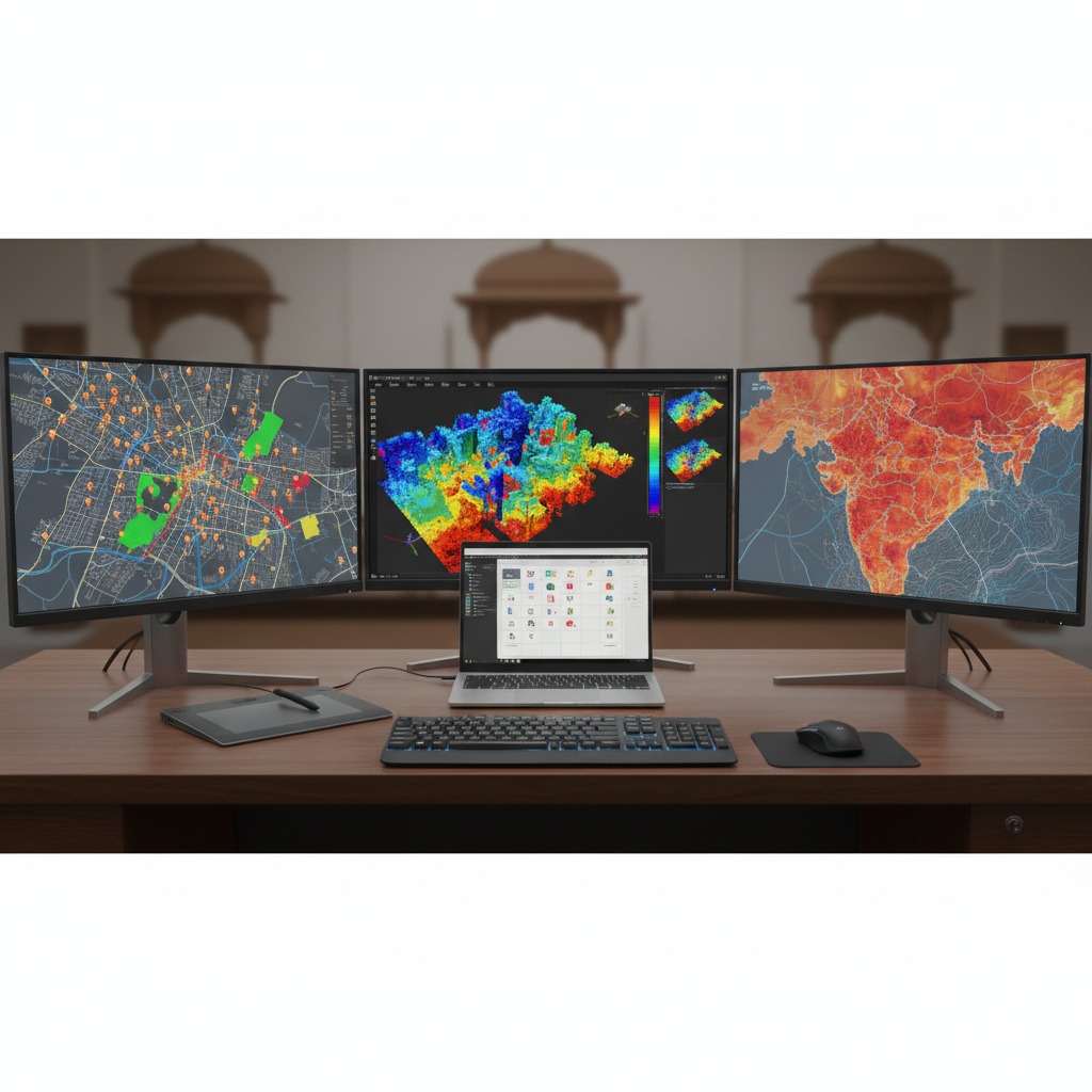
Precision-driven geospatial solutions supporting infrastructure development, urban planning, resource management, and environmental monitoring.
Portfolio Includes:
- High-accuracy mapping
- Spatial analytics
- Geodatabase development
- Survey and terrain modeling
- Decision-support geospatial intelligence